 |
| Begin at the beginning |
"Remember what Bilbo used to say: It's a dangerous business, Frodo, going out your door. You step onto the road, and if you don't keep your feet, there's no knowing where you might be swept off to." from "Three is Company" in The Fellowship of the Ring by J.R.R. Tolkien
And so the adventures begin...

It's a warm, January day early in 2006 and it is the day I've decided to begin my quest to be a ThruHiker on the IAT. I drove the fifty or so miles to Interstate Park right outside of St. Croix Falls. I know this park fairly well given that for several years running we've brought the kids from our youth group out here to play what we refer to as "Klingon Capture-the-Flag". But that's always been in August and the park looks a whole lot different in January. I park in the lot by the Ice Age Interpretive Center and stop in to speak to the ranger who informs me that the trail, given this spring-like thaw, is icy and slippery. And soon after, as I make my way down the trailhead, I discover how true that is. Very quickly I am reminded of one of the fundamental rules of hiking: have good foot gear. The boots I have chosen to wear have little tread left on them insuring that I will spend an inordinate amount of time on this hike, like Little Richard's song, "slippin' and slidin'" (I hope there's no hidden inuendo in his lyrics). It's 12 noon - a little late in the day to get going on a hike - but I guesstimate I can make it to Lion's Park in plenty of time. In what will become a very familiar tone in my planning of different hikes on the IAT, I overestimate my stamina and how much ground I can cover on a fleeing winter afternoon.
 |
| Potholes along the Pothole Trail |


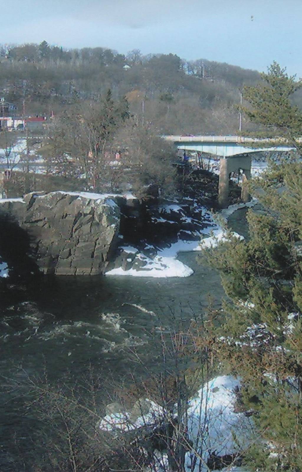
In order to be an official ThruHiker you have to have hiked all of it between Interstate Park and Potawatomi Park on the other end. So before I can head out, I have to make my way down the Pothole Trail and find my way to the Western Terminus overlooking the St. Croix River. This takes awhile mostly because the day is beautiful and my footing is bad. While the west side of the river (the Taylors Falls side) has more of these glacial formations, several potholes hug the trail. According to the IAT Companion Guide (2004 edition) these potholes and the Dalles of the St. Croix River "were formed when torrential glacial meltwater scoured the riverside bedrock cliffs with rock and silt in a drilling type motion" (p. 165) I'd hate to fall down one of them. The western terminus marker is affixed to a lrage glacial erratic (i.e., a big boulder that was picked up by the glacier somewhere else and when it melted left it high and dry a long way from where it originally hailed from) that overlooks the 100-foot deep gorge of the St. Croix River Dalles. Here's my journal entry from that moment:

I'm on the Pothole Trail now overlooking the St. Croix River and looking across to Taylors Falls. The day is great and it is especially nice to hear the quiet roar of the river competing with the louder roar of the traffic on Hwy 8.
Only now can I consider the hike to have officially begun. I have to make it back up the hill to the Interpretive Center and on my way a young buck and I nearly run into each other. He is as startled to see me as I am to see him.
 |
| The view from the Western Terminus |
 |
| This church lies at the bottom of the Wellness Esker |
 |
| Is it coincidental or ironic that a church committed to healing is at the foot of the Wellness Esker? |
 |
| The trail as it heads up the Wellness Esker |
Leaving the park
I probably wasn't paying attention to the signage but somewhere on the way back up the hill I got turned around and found myself on the Skyline Trail and then on an adjacent snowshoe trail. Eventually I found a Yellow Blaze (the "breadcrumb" marker for IAT hikers to follow) and got on track, walking out of the park along Hwy 35. For the next 3 1/2 hours I followed the IAT up Wellness Esker (one of the highest in all of Wisconsin), along city streets, through school yards and residential areas. With the exception of a friendly dog, I had the trail all to myself. I felt a little awkward making my way through the playground of St. Croix Falls Elementary especially because recess was going on but the map led that way and so I followed the familiar yellow blazes hoping a concerned teacher wouldn't call 911 due to a strange man walking through the school yard.
 |
| A sign? |
 |
| A view from the top |
 |
| Above St. Croix Regional Medical Center |
 |
| Other sights along the Trail |
 |
| St. Croix Elementary |
 |
| Recess was going on |
 |
| This, too, is along the IAT |
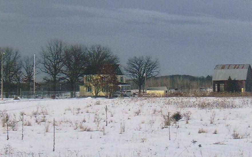
Eventually I entered the Mindy Creek Segment and was beginning to become a little nervous only because the shadows were lengthening and the afternoon was quickly passing. My feet had developed a blister or two and I fell a time or two. When I finally arrived at Lion's Park on Hwy 87 it was 3:45. Unfortunately, I couldn't savor the moment of completing my first hike as it was beginning to drizzle and I still had to hoof it back to the van (something else I had not planned for). It took me nearly an hour using the main streets and highway to get back out to Interstate Park. I was footsore and weary but then again I had just hiked 7 trail miles and then another 3 or so to get back to the van. I had brought bad foot gear, no trail mix or water and essentially was not very prepared for an otherwise enjoyable afternoon hike. But my journey down the Ice Age Trail had begun.
 |
| This journey's end |
 |
| St. Croix River (above the falls) at dusk |


No comments:
Post a Comment