Most of the hikes that I logged between
our home in Chetek and the Trail's End at Interstate Park were
spur-of-the-moment endeavors. I woke up and the mood was on me or the
sun was bright and I had the day (with my wife's permission) all to
myself and I decided, “Why not?” Hiking the IAT between Polk County and Chippewa County is not like trekking the Appalachian
Trail (or so I would imagine). The scenery is beautiful but the
terrain is quite tame and you are never too far off the beaten path
(beyond Chippewa County, however, is a different matter). And so a
week after slipping and sliding through and beyond Interstate Park
and despite getting a late start given that I had to travel back to
St. Croix Falls due to my son's wrestling match later that day, I
decided I could squeeze in a quick hike.I made a detour to Rice Lake
in order to pick up a new DeLorme's Wisconsin Gazetter due to the
fact that at the time I had no other map that referenced the IAT for
that section of the trail.
 |
| Hikes 2 & 3 (beginning at Lion's Park) |
Since my inaugural hike the week before
I made two logistical changes: I changed my footgear and brought
along my Fuji trail bike. Instead of the tread-less Bean Boots I had
struggled in the week before, I wore a good pair of New Balances. And
to save me a walk back after completing a section of the trail, I
would stow my bike where I planned to end and then ride back to my
van. Just as I had the week before, I way overestimated the amount
ground I could cover in the short window of time I had allotted
myself and parked the bike at the entrance to the Gandy Dancer Trail
over in Centuria. By the time I arrived at Lion's Park, where Hike 1
had concluded, it was already 2:30 p.m. - not a good time to start a
winter afternoon hike. And given that I would have to be on the road
by 3:45 p.m. in order to make it to the wrestling match, it left me a
very narrow window to not only complete the section but bike back to
the van. It's good to have a plan.


It was snowing lightly. Last week, when
the ranger at the Ice Age Interpretive Center at Interstate Park,
informed me that the IAT is not maintained in winter, I didn't think
much of it. Today I did. As I read my journal entry from that day, I
have a vague memory of wet feet and losing my way:
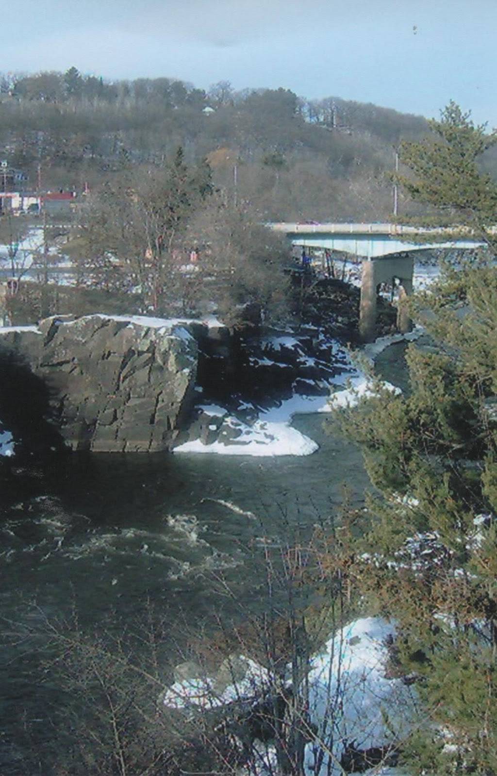
The IAT meanders along the east side
of the St. Croix River. It was very quiet in the woods – except for
the several small streams that flow into the River. The trail, though
snow-covered, was easy to follow up to the primitive campsite. After
that, however, the trail is poorly marked and more rugged. I had to
double-back several times. And at one point was fully persuaded I had
lost it altogether. I ultimately found it again but by then I had run
out of time.
I had no choice but
to double back to Lion's Park and then drive back over to Centuria to
pick up my bike. But before I did that I drove up the River Road
(where the IAT emerges from the narrow section of woods that follows
the course of the river) and find where the trail comes out. I had
been closer than I knew. I have a note in my journal that indicates
that wearing my New Balances didn't work and that “next time I try
a different set of boots.” As in running, good, quality foot gear
is one of your most important pieces of equipment in hiking. It took
my first several hikes on the IAT to figure the right boots out (and
by that time, I hardly needed them for that winter season).


Hike 3: Tuesday,
January 24, 2006
Do Over
Less than a week
later, on a rare Tuesday afternoon hike, I attempted to complete the
St. Croix Falls Segment. I must have been coming home from a meeting
in Minnesota and had decided to bring the bike along the way in case
I was still in the mood to try this section again. Once again, I
drove over to Centuria and stowed the bike and then doubled back to
Lion's Park north of St. Croix Falls. (For some reason I didn't take
any pictures for this second installment of this hike most likely
because I had forgotten to bring my camera.) But this time my efforts
were rewarded as I made it back to where I had lost the trail the
Thursday before. After carefully looking around I then spied a tree
with an IAT yellow blaze that I had somehow missed the last time.
Once I found the trail the rest was fairly easy (but according to my
journal I briefly lost it again only to find is about 100ft later.)

This was a fun
section in that at one point the trail traverses a creek which is too
wide to jump. If it had been summertime, I would have had to wade
across but given that it was January I had to venture off the trail a
ways until I found a thick enough log that had serendipitously fallen
across the creek. But it wasn't too thick in that I recall feeling
like I was walking a tight rope hoping not to fall into the cold
water below. I wouldn't have gone under – it wasn't that deep –
but I would have got wet. Fortunately, I made it across without
incident.

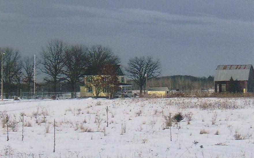
I finally emerged
from the woods and began walking on the River Road. My first official
road connector had begun. It was a half mile to Hwy 87 and then
another 3 1/2 on 160th Avenue. The Alberta Clipper that
was blowing through here was at my back. For this hike I was wearing
a pair of my nephew's old hunting boots which worked great on the
trail but were not the best for a long road hike because by the time
I reached the bike my feet were killing me. It had taken me three
hours total to make it to the Gandy Dancer Trail. But the bike trip
back, despite that cold Canadian wind being in my face, took inside
30 minutes. Bringing the bike was going to be a regular part of my
endeavor to be a ThruHiker.